
COIMBATORE: Under the Union govt-funded Digital India Land Records Modernization Programme (DILRMP), preliminary work for the National Geospatial Knowledge-based Land Survey of Urban Habitations (NAKSHA) has commenced in seven wards of the Coimbatore Corporation.
The survey will create a comprehensive and accurate geospatial database of city land records.
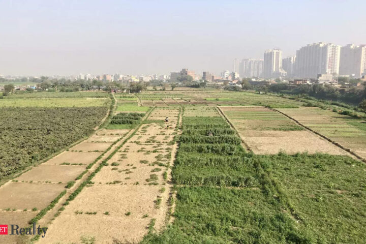
As part of this pilot project, a 10.44 sq. km area will be surveyed using drones, and land records will be updated. Field maps with geo-location points will also be created.
An official from the district Survey and Land Records Department said that rapid urban growth demands a robust and updated land record system.
“We have begun preliminary work for the survey, which will cover a total of 73,263 buildings. The drone survey is expected to start by the end of this month and will capture the entire area in the seven wards within three days,” the official said.
Following this, ortho-rectified images (ORI) will be generated using drone data. Subsequently, teams comprising employees from the Revenue and Municipal Administration Departments will conduct ground-truthing to validate and update property records.
“The survey will use modern land-surveying equipment, including the Electronic Total Station (ETS) and the Differential Global Positioning System (DGPS), to ensure accuracy. It will take six months to survey the entire area. Afterward, a draft field map will be prepared, and land ownership details will be published online for public review. If landowners have any objections to the mapped records, they can appeal to the authorities concerned,” the official explained.
Objections will be reviewed and resolved as per the prescribed regulations. Once finalized, the urban land documents will be published, and field maps with geo-location points will be integrated with property tax records and provided to landowners. “The data will also be linked to property tax records maintained by corporation. The entire process is expected to take one year,” he said.
“By integrating aerial and field surveys with advanced Geographic Information System (GIS) technology, the programme enhances efficiency in land governance, streamlines property ownership records, and facilitates urban planning. Even the number of trees in the city will be recorded in the drone survey, and that data can be used if needed,” the official added.