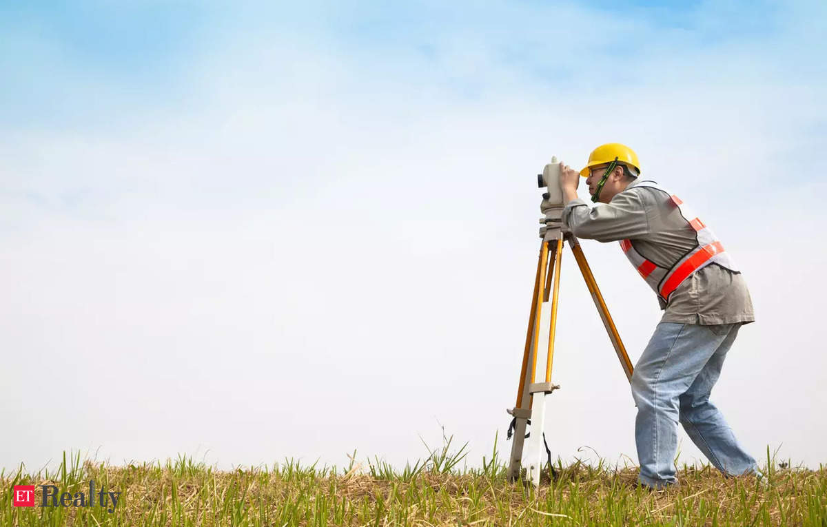
BENGALURU: The revenue department will replace a 200-year-old method involving chains and staff to survey land with a GPS-based system. Minister Krishna Byre Gowda Wednesday distributed 465 new modern measuring instruments, known as rovers, while pointing out that the new method will save hours of labour.
“A single survey took at least 70 minutes, and drafting the map required an additional three hours,” Gowda said of the old system which involved measuring land with chains and drawing maps manually. “But with modern rover technology, this entire process can now be completed in 10 minutes,” he said.
In between, the department briefly used technology like Digital Global Positioning System (DGPS). Gowda believes the new method will also overcome the possibility of manipulation of survey results that had led previously to prolonged legal battles.
The rovers will be deployed largely in urban areas and will confirm digital sketches drones had generated over the past few months. They will interact with 41 continuous operating stations (CORS) established in Karnataka and provide precise coordinates for mapping purposes, said J Manjunath, commissioner, Survey and Land Records.
“We’ve used drones, unmanned aerial vehicles, and helicopters to survey 21 of 31 revenue districts across 1.1 lakh square km of the 1.9 lakh square km that constitutes Karnataka’s geographical area. We’ll complete digital mapping of the entire state by the end of March,” Manjunath said. The department is looking to provide property cards by March 2026.
While the Centre has initiated Naksha Yojane to survey urban areas, Manjunath said, “The Union govt is yet to appoint agencies and provide maps from drone images. But we have already launched surveys in three of 10 urban local bodies.”
Admitting that in the past, ‘gram thana’ areas (revenue limits of a village) were never surveyed, he said, “Under the Centre’s Svamitva scheme, we are surveying and creating maps for 30,715 villages for the first time. This includes surveys of private and public properties, roads, drains, gunduthop, cemeteries, panchayat buildings, etc.”
Rover and the tab
The pole attached to a compact survey-grade receiver (which looks like a phone) or ‘rover’ is placed on the land and it captures coordinates. The commands to capture are made through a tablet PC that is connected to the rover. The surveyor then walks around from one point to the other of the plot, tracing its outer limits. In case it is not a straight line, there are options on the tab to mark deviations, or one can stick the staff pole to the ground at multiple points along the curved limit of the land.
