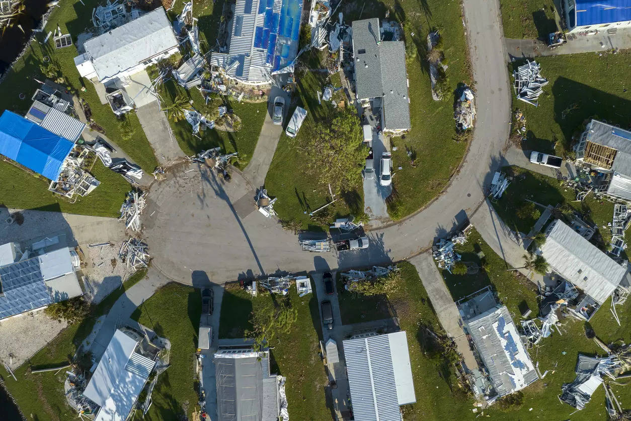
Mohali: The Mohali municipal corporation is all set to conduct a survey for property tax assessment using drones. MC commissioner T Benith said the municipal corporation has been chosen by the department of land resources, ministry of rural development, Govt of India, among six towns in Punjab under the National Geospatial Knowledge-Based Land Survey of Urban Habitations (NAKSHA) project.
Benith said it is a city survey programme, which is a one-year pilot programme in 26 states and three UTs, covering 152 cities and 4142.63 sq. km area. He said, “We will use drones to conduct a survey of the properties for tax assessment as well as to detect property violations in the city. This will be done under the National Geospatial Knowledge-Based Land Survey of Urban Habitations (NAKSHA) Project.”
The launch event was attended by Assistant Commissioners Manpreet Singh and Jagjit Singh. Shubhkaran, Officer Surveyor from the Survey of India, was also present at the launch of this pilot project.
The NAKSHA Project aims to enhance land record accuracy, support urban planning, and improve infrastructure development in Mohali and other selected towns. The officials emphasized that this initiative will help streamline land management, ensure proper documentation, and facilitate planned urban growth using advanced geospatial technology.