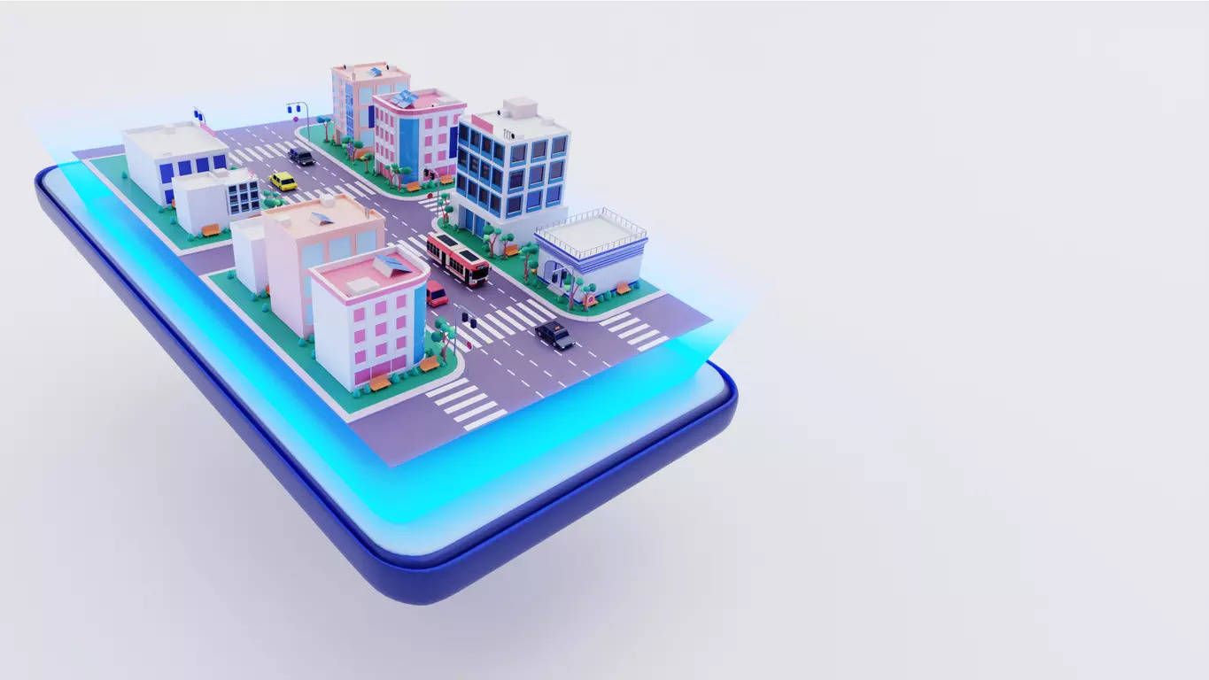
HYDERABAD: Building on the success of the ‘One Map Gurgaon’ initiative, the Telangana govt is set to consolidate all key information about Hyderabad into a single platform. The ambitious light detection and ranging (LiDAR) survey will cover a range of crucial infrastructure details, including road network, water supply, electricity, sewage, and even fire and traffic police networks. The aim is to improve urban planning, enhance infrastructure, and manage disasters.
Chief minister A Revanth Reddy has directed the LiDAR survey for the entire GHMC area and regions up to the outer ring road, covering approximately 2,050 square kilometres. The survey will help create an up-to-date and accurate map of the city’s infrastructure, which will serve as a valuable resource for future planning and development.
LiDAR is a remote sensing technology that uses light pulses to measure distances and generate precise, three-dimensional data about the earth’s surface and objects. By capturing detailed topographical information, the technology provides accurate insights that can be used for infrastructure planning, disaster management, and urban development.
The LiDAR survey for the GHMC area is expected to be completed within the next six months, with the ORR area covered by the end of the year. Officials from the municipal administration and urban development department are finalising the tendering process, with work set to begin soon.
Boosting infrastructure
During a review meeting with MAUD officials, CM Revanth was briefed on the progress of the pilot drone survey in the GHMC area. This drone survey, which covers around 625 square kilometres, is helping the GHMC identify unassessed and underassessed properties, thereby boosting revenue collection for the city. The LiDAR survey, which offers more precision than drones, will provide additional insights, especially in the rapidly growing areas outside the GHMC and within the ORR.
As new colonies continue to emerge in these areas, the govt plans to identify infrastructure gaps and address citizens’ concerns more effectively. While drones were initially considered for the wider survey, the CM opted for the more advanced and accurate LiDAR technology despite the slightly higher cost.
Unified digital platform
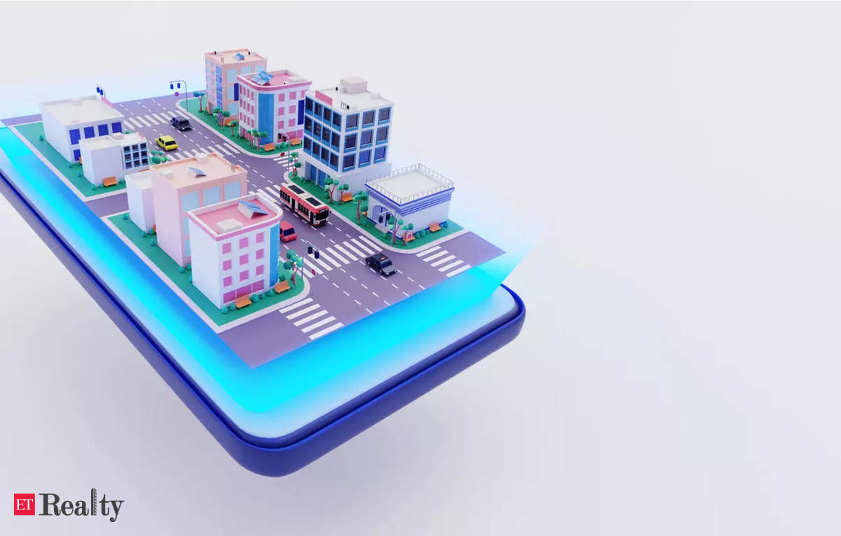
In the future, the govt plans to launch a mobile app that integrates all data from the ‘One Map Hyderabad‘ project, making it accessible to citizens and agencies alike. This digital platform will be crucial for improving services, such as door-to-door garbage collection, emergency response, and disaster management.
Last year, the GHMC initiated a comprehensive drone-based aerial GIS survey and door-to-door mapping of all properties within its jurisdiction. This effort aims to streamline property assessments and create a unique identification system for each property, improving service delivery and urban planning.


