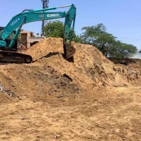


VISAKHAPATNAM: The Visakhapatnam Metropolitan Region Development Authority (VMRDA) will prepare a base map and an existing land use map for the newly merged mandals, covering approximately 2,456 sq km. The primary goal of these maps is to serve as a foundation for developing the master plan and zonal development plans for the study area.
These maps will be prepared using differential global positioning system (DGPS) and topographic surveys.
It is recalled that the jurisdiction of the VMRDA was increased in recent years to include 13 rural mandals from Anakapalli and Merakamudidam in Vizianagaram district. The data collected during this survey will include land parcel and plot boundaries, roads, railway lines, water bodies, agricultural lands, and other utilities and services.
For instance, the information collected on land parcels and plot boundaries (at the survey number and subdivision level) will be digitised using cadastral maps available at the revenue village level. Ground control points will also be established using DGPS, followed by geo-referencing and overlaying satellite imagery. Detailed topographic surveys will be conducted to gather information on land use in the study area.
Since Visakhapatnam Urban Development Authority (VUDA) was upgraded into VMRDA in 2018, it has undergone significant changes in both its jurisdiction and development scope. In 2020, state govt expanded the VMRDA’s jurisdiction to include Merakamudidam mandal in Vizianagaram district, covering 41 villages and 17,529 hectares (175.29 sq km). In March 2021, 13 additional mandals in Anakapalli district (covering around 2,280 sq km) were added. As VMRDA had already prepared a master plan for its previous jurisdiction, it is now required to develop a similar plan for the newly merged mandals. According to VMRDA officials, preparation of the land use map will involve incorporating approved layout data and compiling details on areas, land uses, structures, and permissions that have already been committed or are under discussion.
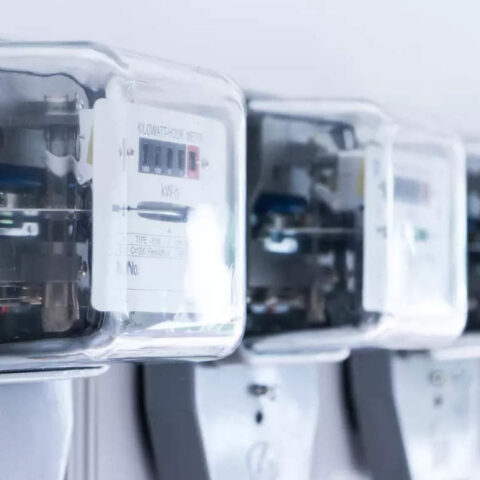
Information from utilities and service providers will be collected, covering both existing and proposed networks for water supply, sewerage and drainage, electricity, telephone/fibre optics, and gas.