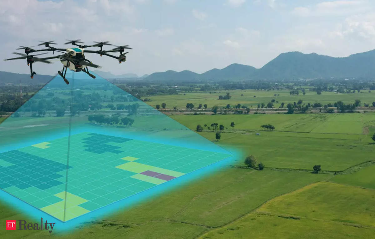
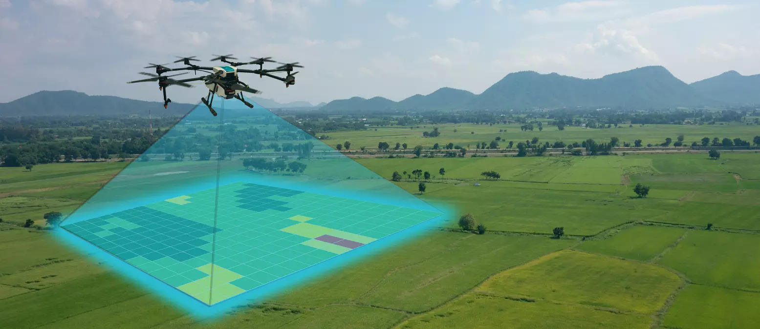
AGARTALA: The Agartala Municipal Corporation (AMC) is set to implement a digital land assessment initiative using drone technology to create a detailed three-dimensional city model under India’s pilot project, NAKSHA.
According to AMC commissioner Dr Sailesh Kumar Yadav, NAKSHA aims to enhance accuracy and transparency in land records, addressing issues like fraud, unauthorised ownership changes and property disputes, whilst facilitating future planning.
“Every property owner will receive an authentic property card from AMC, which can be used for financial transactions, including obtaining loans,” Yadav said, adding, the survey will cover all 51 wards within the city and will not only provide a detailed assessment of land resources but will also record both public and private infrastructure.
Selected as one of 152 cities across India for this initiative, Agartala will undergo an aerial survey to modernise and strengthen its existing land record system and reassess land use patterns.
“Previously, land measurement was conducted manually, which often led to discrepancies. By using drones, we aim to introduce a higher level of accuracy and efficiency in the process,” Dr Yadav stated, adding, flat owners in the city would gain property rights upon completion of the survey.
“At present, flat owners do not hold full property rights. This project will enable them to establish their ownership more effectively, facilitating land transactions and attracting private investments for development projects,” he added.